搜索结果: 1-5 共查到“地质学 D-InSAR”相关记录5条 . 查询时间(0.026 秒)

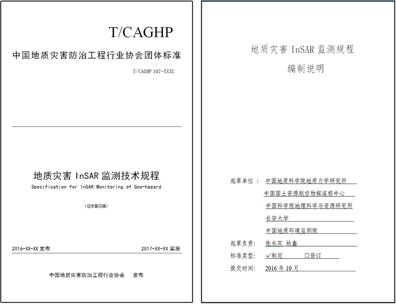
应中国地质灾害防治工程行业协会邀请, 地质力学研究所组织中国国土资源航空物探遥感中心、中国科学院地理科学与资源研究所、长安大学、中国地质环境监测院共同编写了《地质灾害InSAR监测技术规程》,现已完成全国范围内的征求意见及行业协会的评审,即将于今年内发布实施。《地质灾害InSAR监测技术规程》(下称《规程》) 基于研究团队近年来在InSAR研究和应用领域取得的成绩及在地质灾害研究工作方面的积累,历...
为了解决D-InSAR技术不能全面监测煤矿开采引起的地表移动与变形问题,综合运用理论推导和模拟实验方法,开展基于单视线向D-InSAR技术提取开采沉陷移动与变形的方法研究,主要取得如下成果:(1) 融合近水平、缓倾斜煤层开采沉陷规律和D-InSAR技术,建立任意像元任意方向下沉、倾斜、水平移动、水平变形和曲率变形的计算模型及其推广模型。模拟实验结果表明,在模拟地质采矿条件和影像分辨率10 m条件下...
MONITORING LANDSLIDES AND VOLCANIC DEFORMATION FROM INSAR TECHNIQUES
InSAR Landslide motion Rockslides Volcanic deformation
2015/7/29
Our research has shown that interferometric SAR techniques can be used to monitor deformation at landslides and volcanoes under
specific conditions. Special filtered interferograms are being used to...
Monitoring subsidence effects in the urban area of Zonguldak Hardcoal Basin of Turkey by InSAR-GIS integration
Monitoring subsidence effects the urban area Zonguldak Hardcoal Basin of Turkey InSAR-GIS integration
2010/10/21
Zonguldak Hardcoal Basin is the largest bituminous coal region in Turkey where extensive underground mining activity exists. Because of this activity subsidence effects have been experienced in differ...

