搜索结果: 1-15 共查到“固体地球物理学 Earthquake”相关记录296条 . 查询时间(0.093 秒)


2022年9月5日四川泸定M6.8级地震震源破裂过程反演初步结果 Preliminary result for Rupture Process of Sep.5,2022,M6.8 Earthquake,Luding,China(图)
四川泸定 地震震源破裂过程 反演初步结果
2023/1/16


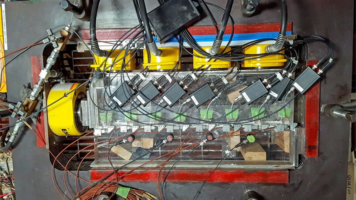
How earthquake swarms--strings of quakes--arise(图)
How earthquake swarms strings quakes arise
2020/10/10
Earthquakes can be abrupt bursts of home-crumbling, ground-buckling energy, occurring when slices of the planet's crust long held in place by friction suddenly slip and lurch."We typically think of th...
BUILDING DAMAGE EXTRACTION TRIGGERED BY EARTHQUAKE USING THE UAV IMAGERY
Building Damage Information Earthquake Disasters Image Fusion Point Clouds UAV Imagery
2018/5/14
When extracting building damage information, we can only determine whether the building is collapsed using the post-earthquake satellite images. Even the satellite images have the sub-meter resolution...
THE DETERMINATION METHOD OF EXTREME EARTHQUAKE DISASTER AREA BASED ON THE DUST DETECTION RESULT FROM GF-4 DATA
Earthquake Extreme Disaster Area Dust GF-4 Remote Sensing
2018/5/11
The remote sensing has played an important role in many earthquake emergencies by rapidly providing the building damage, road damage, landslide and other disaster information. The earthquake in the mo...
NEAR REAL-TIME GEOREFERENCE OF UMANNED AERIAL VEHICLE IMAGES FOR POST-EARTHQUAKE RESPONSE
UAV images Georeference Earthquake emergency Disaster information World File
2018/5/15
The rapid collection of Unmanned Aerial Vehicle (UAV) remote sensing images plays an important role in the fast submitting disaster information and the monitored serious damaged objects after the eart...
ROAD DAMAGE EXTRACTION FROM POST-EARTHQUAKE UAV IMAGES ASSISTED BY VECTOR DATA
Road damage extraction Damage assessment Earthquake UAV images Object-oriented classification Threshold detection
2018/5/11
Extraction of road damage information after earthquake has been regarded as urgent mission. To collect information about stricken areas, Unmanned Aerial Vehicle can be used to obtain images rapidly. T...
ESTIMATION OF STATIC COULOMB STRESS CHANGE AND STRONG MOTION SIMULATION FOR JIUZHAIGOU 7.0 EARTHQUAKE BASE ON SENTINEL-1 INSAR DATA INVERSION
InSAR Coulomb Stress Change Slip Inversion Strong Motion Aftershocks Slip Model Jiuzhaigou Earthquake
2018/5/15
On August 8, 2017, an earthquake of M 7.0 occurred at Jiuzhaigou. Based on the Sentinel-1 satellite InSAR data, we obtained coseismic deformation field and inverted the source slip model. Result...
THE EXTRACTION OF POST-EARTHQUAKE BUILDING DAMAGE INFORMATIOM BASED ON CONVOLUTIONAL NEURAL NETWORK
Earthquake Seismic Damage Information Extraction Deep Learning Convolutional Neural Network
2018/5/11
The seismic damage information of buildings extracted from remote sensing (RS) imagery is meaningful for supporting relief and effective reduction of losses caused by earthquake. Both traditional pixe...
RESEARCH ON OPTIMAL OBSERVATION SCALE FOR DAMAGED BUILDINGS AFTER EARTHQUAKE BASED ON OPTIMAL FEATURE SPACE
Optimal Feature Space Damaged Buildings ESP Scale Accuracy
2018/5/11
A new information extraction method of damaged buildings rooted in optimal feature space is put forward on the basis of the traditional object-oriented method. In this new method, ESP (estimate of sca...
RAPID EXTRACTION OF LANDSLIDE AND SPATIAL DISTRIBUTION ANALYSIS AFTER JIUZHAIGOU Ms7.0 EARTHQUAKE BASED ON UAV IMAGES
Jiuzhaigou earthquake UAV object-oriented landslide extraction spatial distribution analysis
2018/5/14
Jiuzhaigou earthquake led to the collapse of the mountains and formed lots of landslides in Jiuzhaigou scenic spot and surrounding roads which caused road blockage and serious ecological damage. Due t...
ESTIMATION OF SURFACE DEFORMATION DUE TO PASNI EARTHQUAKE USING SAR INTERFEROMETRY
InSAR Surface Deformation Sentinet-1 Earthquake Pasni
2018/5/11
Earthquake cause ground deformation in sedimented surface areas like Pasni and that is a hazard. Such earthquake induced ground displacements can seriously damage building structures. On 7 February 20...
PRELIMINARY STUDY ON EARTHQUAKE SURFACE RUPTURE EXTRACTION FROM UAV IMAGES
UAV earthquake surface rupture 3D reconstruction
2018/5/16
Because of the advantages of low-cost, lightweight and photography under the cloud, UAVs have been widely used in the field of seismic geomorphology research in recent years. Earthquake surface ruptur...


