
搜索结果: 1-15 共查到“国际动态 摄影测量与遥感技术”相关记录58条 . 查询时间(3.562 秒)
近日,农学院智慧农业创新团队在国际著名遥感期刊《ISPRS Journal of Photogrammetry and Remote Sensing》发表了题为“Automated in-season mapping of winter wheat in China with training data generation and model transfer”的研究论文,报道了他们在大尺度冬小...
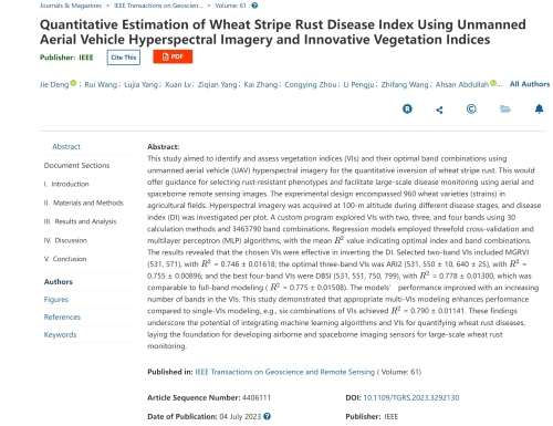
中国农业大学植物保护学院马占鸿教授团队在IEEE Transactions on Geoscience and Remote Sensing发表研究成果(图)
马占鸿 IEEE Transactions on Geoscience and Remote Sensing 小麦条锈病 遥感
2023/12/11
近日,中国农业大学植物保护学院植病流行与智慧植保实验室马占鸿教授团队在遥感领域国际权威期刊IEEE Transactions on Geoscience and Remote Sensing (TGRS)发表论文“Quantitative Estimation of Wheat Stripe Rust Disease Index Using Unmanned Aerial Vehicle Hype...
近日,由空天信息创新研究院(空天院)牵头、联合中科星图数字地球合肥有限公司(星图地球)与德国慕尼黑联邦国防军大学共同申请,成功获得遥感数据融合大赛(Data Fusion Contest, DFC)2023年度赛事的举办权。本届赛事是DFC大赛自2006年举办至今,首次由中国牵头主办的一届。
近日,世界气象组织(WMO)在其全球天基交叉定标系统Newsletter期刊《GSICS》(2022年第2期)上报道了空天信息创新研究院(以下简称“空天院”)遥感卫星应用国家工程研究中心李正强研究员团队针对国产GF5、GF5-02系列卫星开展基于海洋瑞利散射的宽视场偏振成像仪在轨辐射定标的工作。
2022年9月13日,可持续发展大数据国际研究中心(SDG中心)、中国科学院空天信息创新研究院(空天院)与芬兰气象研究所北极空间中心合作的中芬“雪冰物理过程遥感监测与模型模拟(RSMSIP)”启动会在线举行。来自项目组骨干10余名研究人员出席了会议。
中国测绘学会推荐多位专家竞选ISPRS高级职位
国际摄影测量 遥感与空间信息技术
2022/9/13
国际摄影测量与遥感学会(International Society for Photogrammetry and Remote Sensing,以下简称为“ISPRS”)是一个以推动国际摄影测量、遥感与空间信息技术的发展、应用与交流合作为宗旨是国际学术组织,成员遍及近200个国家和地区,具有学术活动历史悠久、参与面宽、影响力大等特点。
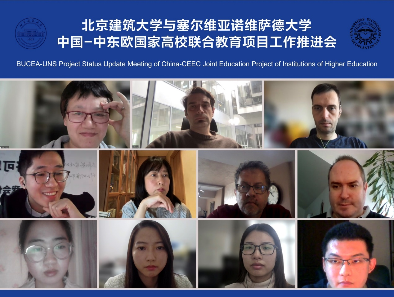
2022年2月24日,北京建筑大学与塞尔维亚诺维萨德大学召开“中国-中东欧国家高校联合教育项目”工作推进会。北京建筑大学国际化发展研究院(国际教育学院)及测绘与城市空间信息学院、塞尔维亚诺维萨德大学科学技术学院有关师生参会,国发院特聘院长、项目负责人蒋捷主持会议。
近期,遥感与空间信息领域顶级期刊《ISPRS Journal of Photogrammetry and Remote sensing》连续发表我院陈国良教授团队在视觉与空间数据智能处理方向的系列研究成果。该期刊为JCR一区,中科院Top期刊,2021年影响因子为8.979。
美国斯坦福大学近期发布第三版《全球前2%顶尖科学家榜单2021》(World’s Top 2% Scientists 2021),国家高层次人才特聘专家、芬兰科学与人文院院士、武汉大学测绘遥感信息工程国家重点实验室主任陈锐志教授同时入选全球“终身科学影响力排行榜”和“年度科学影响力排行榜”。
Ayman F.Habib教授作“Mobile Mapping Systems for Accurate Documentation of Transportation Corridors”报告(图)
Ayman F.Habib教授 土木工程学 数字摄影测量 美国摄影测量与遥感学会
2022/8/29
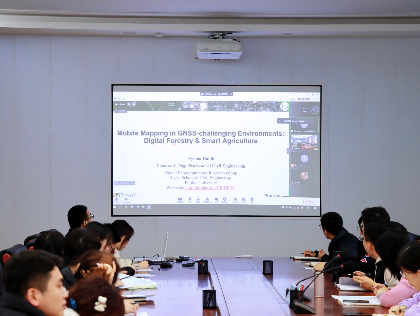
2021年12月23日上午,由测绘与空间信息学院主办的第11期智“绘”讲堂在第一会议室成功举办。本期智“绘”讲堂邀请到美国摄影测量与遥感学会(ASPRS)和加拿大地球空间信息学会(CIG)会员、美国普渡大学土木工程学院教授、数字摄影测量课题组组长、首席科学家Ayman F. Habib教授作了题为“Mobile Mapping Systems for Accurate Documentation ...

Ayman F. Habib 教授来山东科技大学测绘与空间信息学院作“Mobile Mapping Systems: Demonstrated Technology that Keeps Evolving”专题讲座(图)
山东科技大学测绘与空间信息学院 交通运输管理 遥感学会
2022/8/29
2021年12月17日上午,由测绘与空间信息学院主办的智“绘”讲堂在J6第一会议室和434报告厅成功举办。本期智“绘”讲堂邀请到美国摄影测量与遥感学会(ASPRS)和加拿大地球空间信息学会(CIG)会员、美国普渡大学土木工程学院教授、数字摄影测量课题组组长、首席科学家Ayman F. Habib教授作了题为“Mobile Mapping Systems: Demonstrated Technolo...
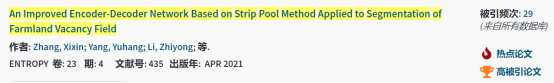
根据美国ESI(Essential Science Indicators)2021年9月的最新统计数据,四川农业大学信息工程学院物联网工程专业2018级本科生张锡鑫和杨宇航在李志勇博士指导下,在知名SCI期刊《Entropy》上发表的论文“An improved encoder-decoder network based on strip pool method applied to segmen...
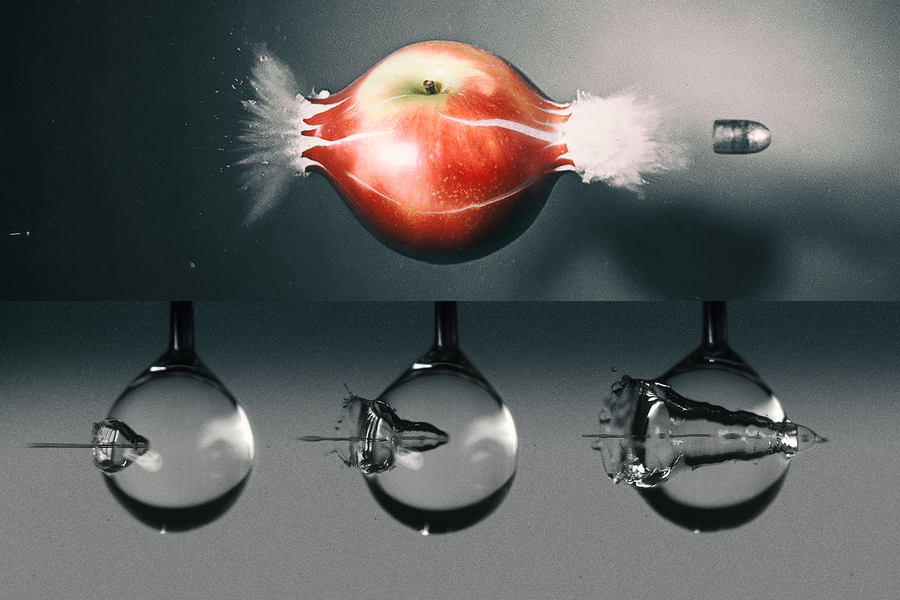
High-speed camera captures a water jet’s splashy impact as it pierces a droplet(图)
高速摄像机 水射流 注射药物
2023/6/19
Squirting a jet of water through a drop of liquid may sound like idle fun, but if done precisely, and understood thoroughly, the splashy exercise could help scientists identify ways to inject fluids s...
哈萨克斯坦卫星监测农业用地技术取得实效
哈萨克斯坦 卫星监测 农业用地技术
2021/4/8
据哈通社2021年3月28日报道,哈农业部长奥玛洛夫日前在出席哈土地改革委员会第一次会议时表示,2015年以来,哈地方行政机关一直在行使针对未利用土地的国家监管职能。2016-2020年,共发现未利用农业用地1540万公顷,其中,540万公顷土地重新投入流转,560万公顷土地已收回国有,440万公顷土地正通过司法机关收回。2019年,哈对土地利用相关法律进行修订,自2020年1月起,在阿克莫拉州、...
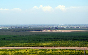
Researchers use satellite imaging to map groundwater use in California's Central Valley(图)
satellite imaging map groundwater California Central Valley
2020/10/16
Researchers at the University of California, San Diego report a new way to improve groundwater monitoring by using a remote sensing technology, known as InSAR (interferometric synthetic aper...