搜索结果: 1-15 共查到“Disaster”相关记录249条 . 查询时间(0.093 秒)


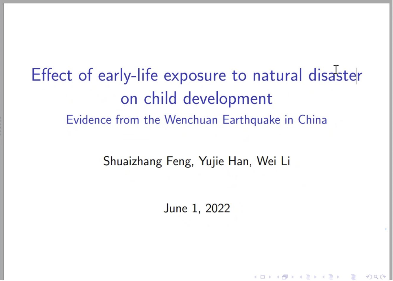
“Effect of Early-life Exposure to Natural Disaster on Child Development”讲座成功举办(图)
讲座 人口社会学 刘铮系列学术讲座 严肃的人口学八卦青年论坛
2022/11/18

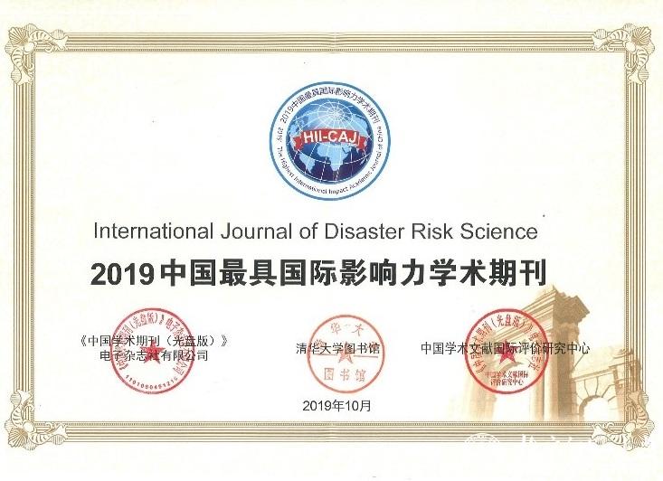
北京师范大学地理科学学部[荣誉]International Journal of Disaster Risk Science 《国际灾害风险科学学报》再次荣获“中国最具国际影响力学术期刊”称号(图)
国际灾害风险科学学报;中国;最具国际影响力;学术期刊
2021/11/11
近日,中国学术文献国际评价研究中心和清华大学图书馆研制、中国知网出版的《中国学术期刊国际引证年报》(2019版)正式发布,由北京师范大学第一主办,地理科学学部减灾与应急管理研究院承办的英文学术期刊International Journal of Disaster Risk Science再次入选“中国最具国际影响力学术期刊”(Top 5%)榜单。
郑州大学2019年攻读硕士学位研究生自命题有机化学考试大纲REATING SUSTAINABLE CITIES THROUGH DISASTER RESILIENCE IN TURKEY
郑州大学 硕士学位 研究生 自命题 有机化学 考试大纲
2019/4/19
郑州大学2019年攻读硕士学位研究生自命题有机化学考试大纲。
LANDSLIDE HAZARD ZONATION IN AND AROUND KEDARNATH REGION AND ITS VALIDATION BASED ON REAL TIME KEDARNATH DISASTER USING GEOSPATIAL TECHNIQUES
Landslide Hazard Zonation GIS Orthorectification Drainage Density Geomorphology
2019/2/28
Landslides are one of the frequently happening disasters in this hilly state of Uttarakhand which accounts to the loss of lives and property every year especially during the rainy season which lead to...
MEASURING URBAN RESILIENCE USING CLIMATE DISASTER RESILIENCE INDEX (CDRI)
Climate Disaster Resilience Index (CDRI) Climate Resilience Disaster Resilience Resilient City
2018/11/9
Measuring urban resilience is one of the important processes toward understanding the current and potential future risk of cities to guide the development of suitable policies and strategies related t...
OPTIMIZED ORGANIZATION AND ADAPTIVE VISUALIZATION OF COMPLICATED MOUNTAIN DISASTER 3D SCENES FOR DIVERSE TERMINALS
Mountain Disaster 3D Scenes Adaptive Visualization
2018/11/9
Mountain disaster scenes usually contains various geographical entities, which are dynamic and complicated. Therefore, the construction of mountain disaster 3D scenes has great significance for disast...
PREDICTION BASED WORKLOAD PERFORMANCE EVALUATION FOR DISASTER MANAGEMENT SPATIAL DATABASE
Disaster Management Large Spatial Database Shortest Path Dijkstra Algorithm
2018/11/9
This paper discusses a prediction based workload performance evaluation implementation during Disaster Management, especially at the response phase, to handle large spatial data in the event of an eru...
2019年“一带一路”防灾减灾与可持续发展国际研讨会通知(1st-Announcement of International Conference on Silk-roads Disaster Risk Reduction and Sustainable Development May, 2019, Beijing, CHINA )
2019年 一带一路 防灾减灾 可持续发展 国际研讨会 通知
2018/7/31
The Silk Road Economic Belt and the 21st Century Maritime Silk Road (simply called “the Belt and Road” or “Silk roads”) covers more than 70 countries and 4.4 billion people (63% of the world). Due to ...

北京师范大学主办的英文学术期刊International Journal of Disaster Risk Science影响因子创新高(图)
北京师范大学 英文 学术期刊 影响因子 创新高
2018/8/3
2018年6月26日,科睿唯安(原汤森路透知识产权与科技事业部)发布了2017年度最新《期刊引证报告》(Journal Citation Reports, JCR)。报告显示International Journal of Disaster Risk Science《国际灾害风险科学学报》2017影响因子达到2.225,在地球科学(GeoScience)、气象&大气科学(Meteorology &...
DISASTER MONITORING AND EMERGENCY RESPONSE SERVICES IN CHINA
Emergency Response Service Disasters Satellite data Earth Observations
2018/5/15
The Disaster Monitoring and Emergency Response Service(DIMERS) project was kicked off in 2017 in China, with the purpose to improve timely responsive service of the institutions involved in the manage...
MONITORING DISASTER-RELATED POWER OUTAGES USING NASA BLACK MARBLE NIGHTTIME LIGHT PRODUCT
DISASTER-RELATED POWER NASA BLACK MARBLE LIGHT PRODUCT
2018/5/15
Timely and accurate monitoring of disruptions to the electricity grid, including the magnitude, spatial extent, timing, and duration of net power losses, is needed to improve situational awareness of ...
THE DETERMINATION METHOD OF EXTREME EARTHQUAKE DISASTER AREA BASED ON THE DUST DETECTION RESULT FROM GF-4 DATA
Earthquake Extreme Disaster Area Dust GF-4 Remote Sensing
2018/5/11
The remote sensing has played an important role in many earthquake emergencies by rapidly providing the building damage, road damage, landslide and other disaster information. The earthquake in the mo...
HAZARD ASSESSMENT OF LANDSLIDE DISASTER IN FUJIAN PROVINCE BASED ON FUZZY MATHEMATICS
Landslide Hazard Assessment Fuzzy Mathematics
2018/5/15
Landslide disasters are the most frequent geological disasters in Fujian Province. They are also the type of geological disasters that cause the most serious economic and population losses each year. ...
THE TRANSMISSION CHANNEL TOWER IDENTIFICATION AND LANDSLIDE DISASTER MONITORING BASED ON INSAR
Transmission Channel Transmission Tower Identification InSAR Time Series D-InSAR Landslide Monitoring
2018/5/14
The transmission distance of transmission lines is long, the line affected by the diversity of climate and topography of the corridors of transmission lines, differences in regional geological structu...


